
Dove Dale - Peak District Walk
Wednesday 20th June 2007
As it finally stopped raining I decided to head out to Dove Dale and climb up Bunster Hill's ridge. Rather than just walk along Dove Dale's valley floor I opted for a mixture of high and low level walking, heading up just beyond Dove Holes to follow a faint and often over-grown path which returned to the valley floor at Lovers Leap. The rest of the route was along more obvious and well-travelled paths.
Start: Milldale car park (SK 1363 5477)
Route: Milldale car park - Dove Dale - Upper Taylors Wood - Lovers Leap - Dove Dale - Bunster Hill - Dovedale Wood - Ilam Rock - Dove Dale - Milldale car park
Distance: 7.25 miles Ascent: 603 metres Time Taken: 5 hours
Weather: Warm with a mixture of clouds and sunshine.
Pub Visited: None Ale Drunk: None
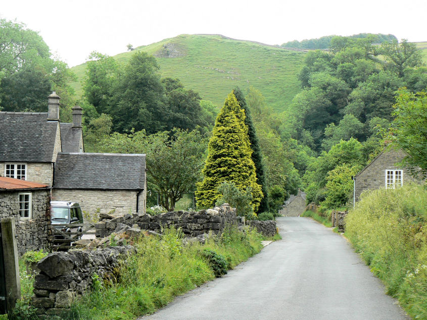
Shining Tor from the tiny hamlet of Milldale.
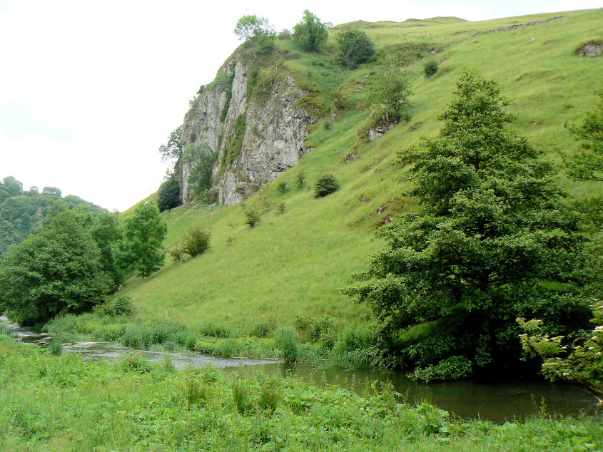
The first real feature in Dove Dale (from Milldale), Ravens Tor.
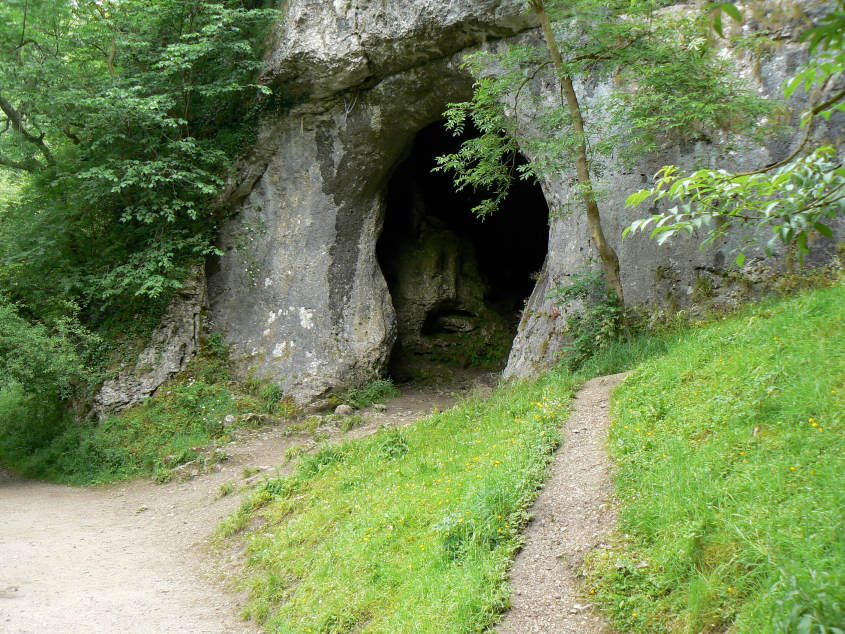
The smaller of the two caves at Dove Holes.
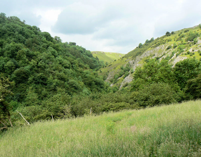
Hall Dale seen after climbing up and out of Upper Taylor's Wood.
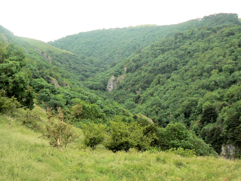
Looking in the opposite direction along Dove Dale.
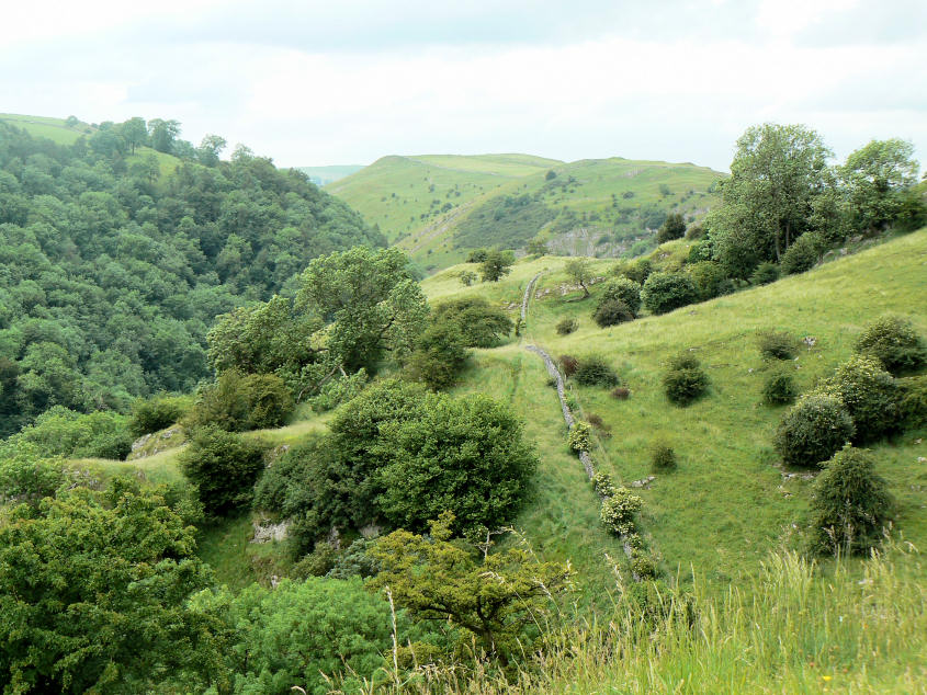
Looking back along the top of Dove Dale from above Reynard's Cave. The faint path I followed across the top is next to the wall.
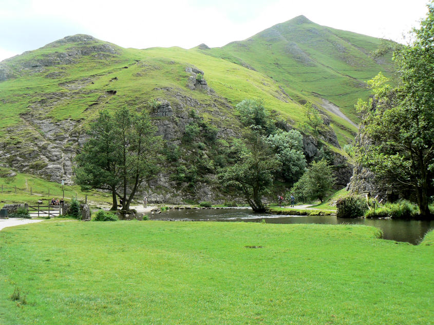
Thorpe Cloud.
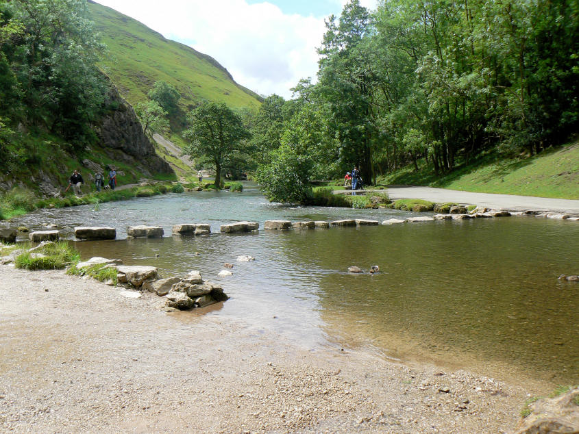
The stepping stones in Dove Dale, which I crossed today.
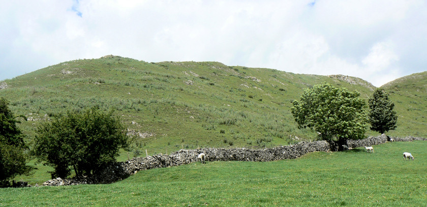
The lower part of Bunster Hill, which was covered in thistles.
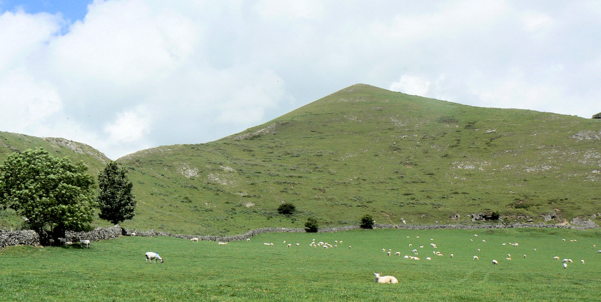
The much steeper second part of Bunster Hill.
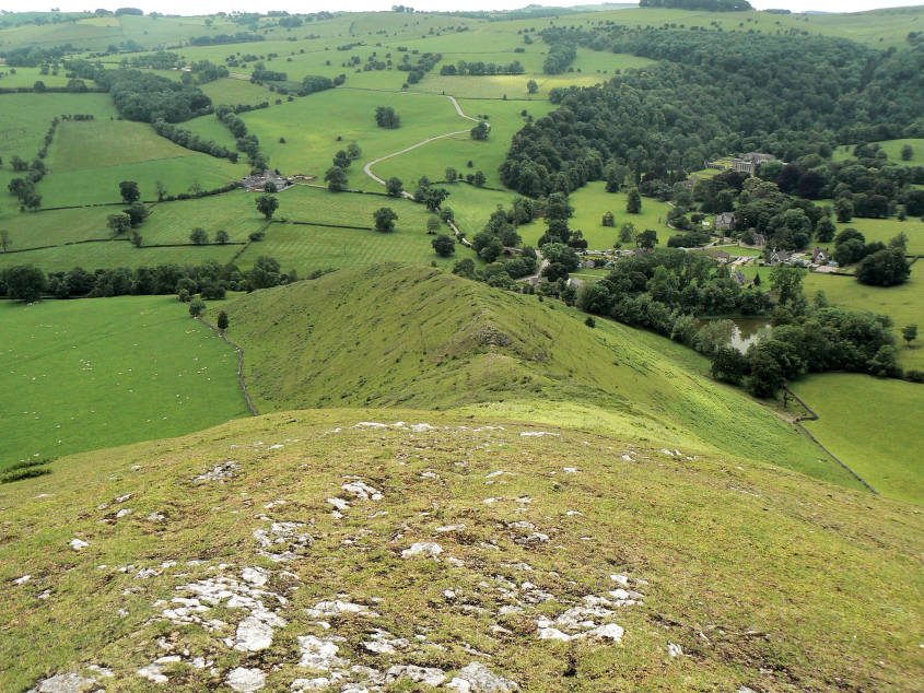
Looking back down Bunster Hill from near the summit.
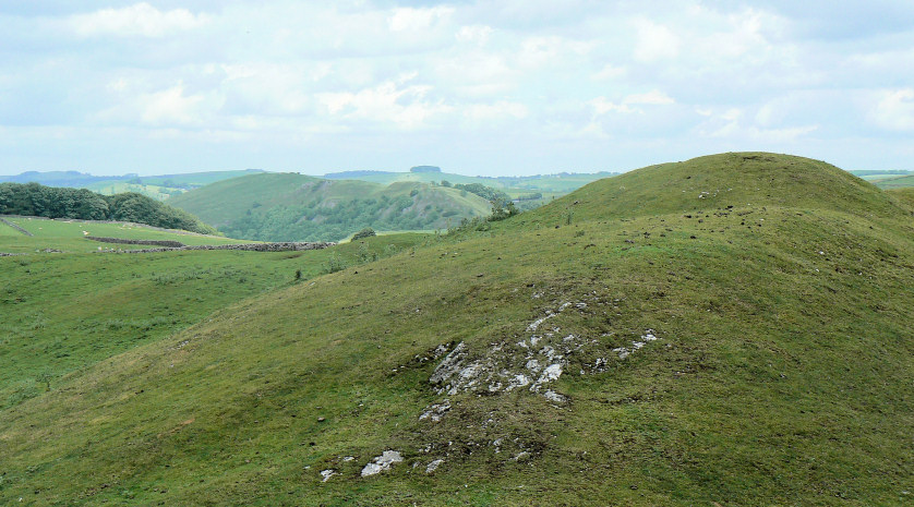
Dove Dale from the summit of Bunster Hill.
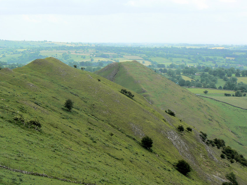
The alternative summit of Bunster Hill (L) and Thorpe Cloud (R), from Bunster Hill.
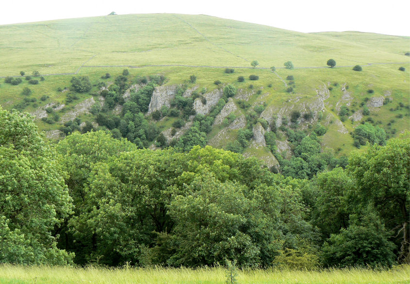
Tissington Spires from Air Cottage.
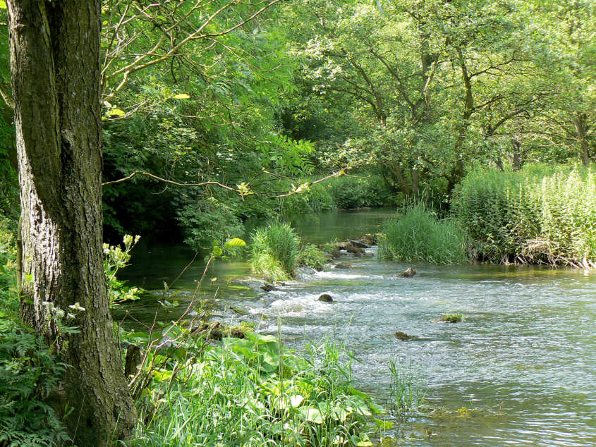
River Dove.
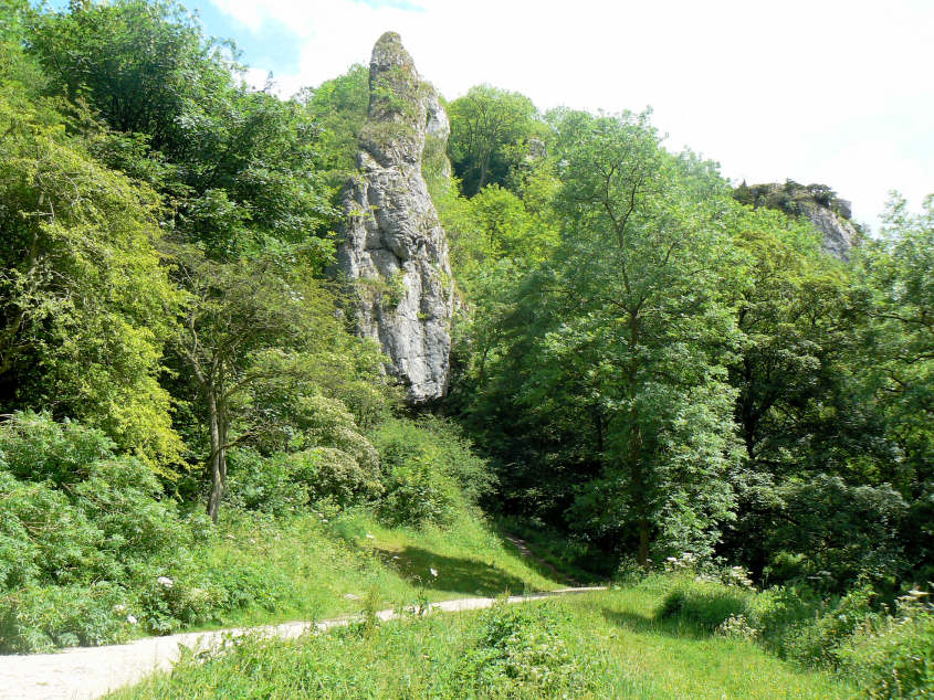
Pickering Tor.
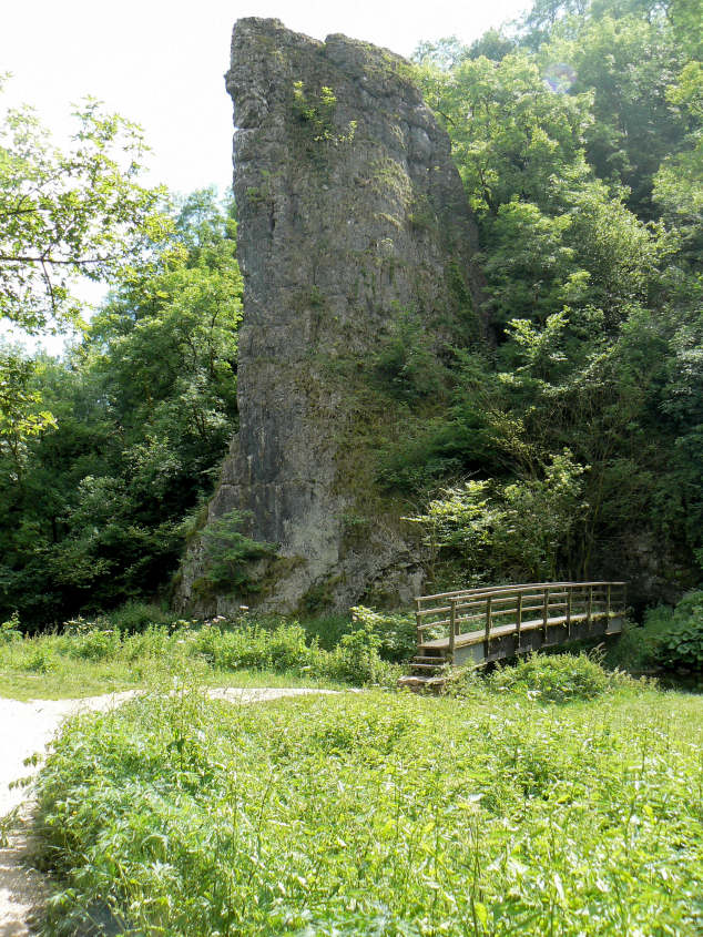
Ilam Rock.
All pictures copyright © Peak Walker 2006-2023